Tracking bird migration using pressure
2021–2022This project uses pressure instead of light to determine the position of birds during migration.
 Google Earth Engine

MAZAlib
2020–presentTools and interfaces to segment porous media scans easily.
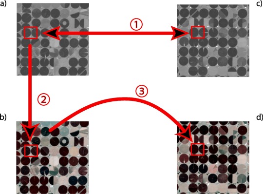
Effect of resolution change on remote sensed analysis
2020–2022Exploring effects and errors introduced by spatial resolution changes in remote sensing applications.
Tracking of vegetation evolution (growth) in Vietnam
2019–presentTracking the type and growth of vegetation in Vietnam.
Cheetah
2019–presentFrom Impala and SNESIM: encode a k‑class n‑point pattern in k n‑bit numbers; exploring FPGA for performance and power gains.
FastDS
2019–presentEnhances Direct Sampling by predicting potential candidates to avoid trivial mismatches — akin to moving from naive rejection sampling to adaptive sampling.
Auto QS: Training image based automatic calibration of direct-pixel MPS algorithm
2019–2023Alternative calibration for QS/DS based on training image analysis to reduce verbatim copy without complex objective functions.
Snow-Vegetation trend in the Alps
2017–2022Studying the evolution of snow and vegetation over the last 35+ years in the Alps.
 Python
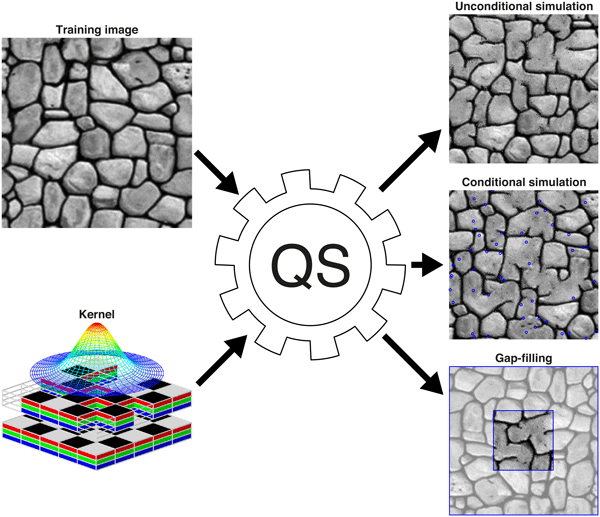
Satellite image colorization
2016–2018The main output of this project is an algorithm — Narrow Distribution Selection (NDS) — to spectrally enhance remotely sensed satellite images, similar in spirit to QuickSampling.